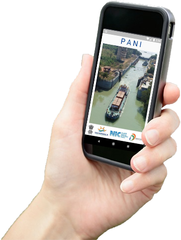
PANI is a digital service by IWAI that provides key systematic and aggregated River and Navigation information related to National Waterways in India for facilitating transportation of cargo and other vessels through National Waterways. This will help in better understanding of the key features of the NW that are essential for decision making on use of waterways mode for transportation.
Assets and Navigation Information
PANI provides detailed information on various waterways in India such as fairway (LAD, etc.), infrastructure facility (jetties, pontoons, cargo handling equipment, storage facilities), cross river structures (bridge locations locks, barrages), connectivity at jetties, emergency services for facilitating transportation of cargo and other vessels through inland waterways.
The portal uses BHARAT maps for easy accessibility and navigation. The Least Available Depth (LAD) across different segments, for various time periods can be seen. The location of Infrastructure facilities, Cross waterway structures, navigation aids can also be seen on a map.
The user can enter an expected date of journey, the required draught, vertical and horizontal clearing and the system will use historical data to predict the feasibility. For actual execution however, the navigation charts need to be used.
Here are some of the infrastructure facilities, structures and features on the PANI Portal

Access to all River Navigation and Infrastructure information on a single platform

Interactive user interface, map based output

Easily downloadable reports

Easy accessibility to external stakeholders and general public

Voyage permissions made easy

Voyages can be planned effectively using the voyage planner
The user can enter an expected date of journey, the required draught, vertical and horizontal clearing and the system will use historical data to predict the feasibility. For actual execution however, the navigation charts need to be used
Click to plan your voyageThis is the Portal for Assets and Navigational Information, developed with an objective to provide key systematic and aggregated River and Navigation information related to National Waterways in India for facilitating transportation of cargo and other vessels through National Waterways. This Portal is an initiative undertaken by Inland Waterways Authority of India. This portal can be used for voyage planning purposes only and not for the navigational purposes.